Integrated surveying
Metric acquisition and documentation of existing conditions, from individual properties to the wider landscape.
- Laser scanner
- Drone UAV
- Photogrammetry
- Topography
Drone · LiDAR · Photogrammetry · RTK
We measure the present. We design what it can become.
3D surveys, restoration and design of buildings and landscapes.
From terrestrial surveying
to aerial acquisition
Drone photogrammetry documents and reconstructs in 3D the current condition of buildings, historic structures, roofs, façades, sites and land. RTK, GCP control points and topographic checks connect each model to its reference system and make the quality of the acquired data measurable.
Acquisition platforms
Each mission is calibrated to the subject being surveyed: a building, historic structure, urban area, slope or terrain. The LiDAR sensor records three-dimensional geometry, while the RGB camera captures high-resolution imagery and colours the point cloud. GNSS/RTK, IMU data and control points connect every dataset to its reference system, making it verifiable and compatible with laser scanning and topographic surveying.
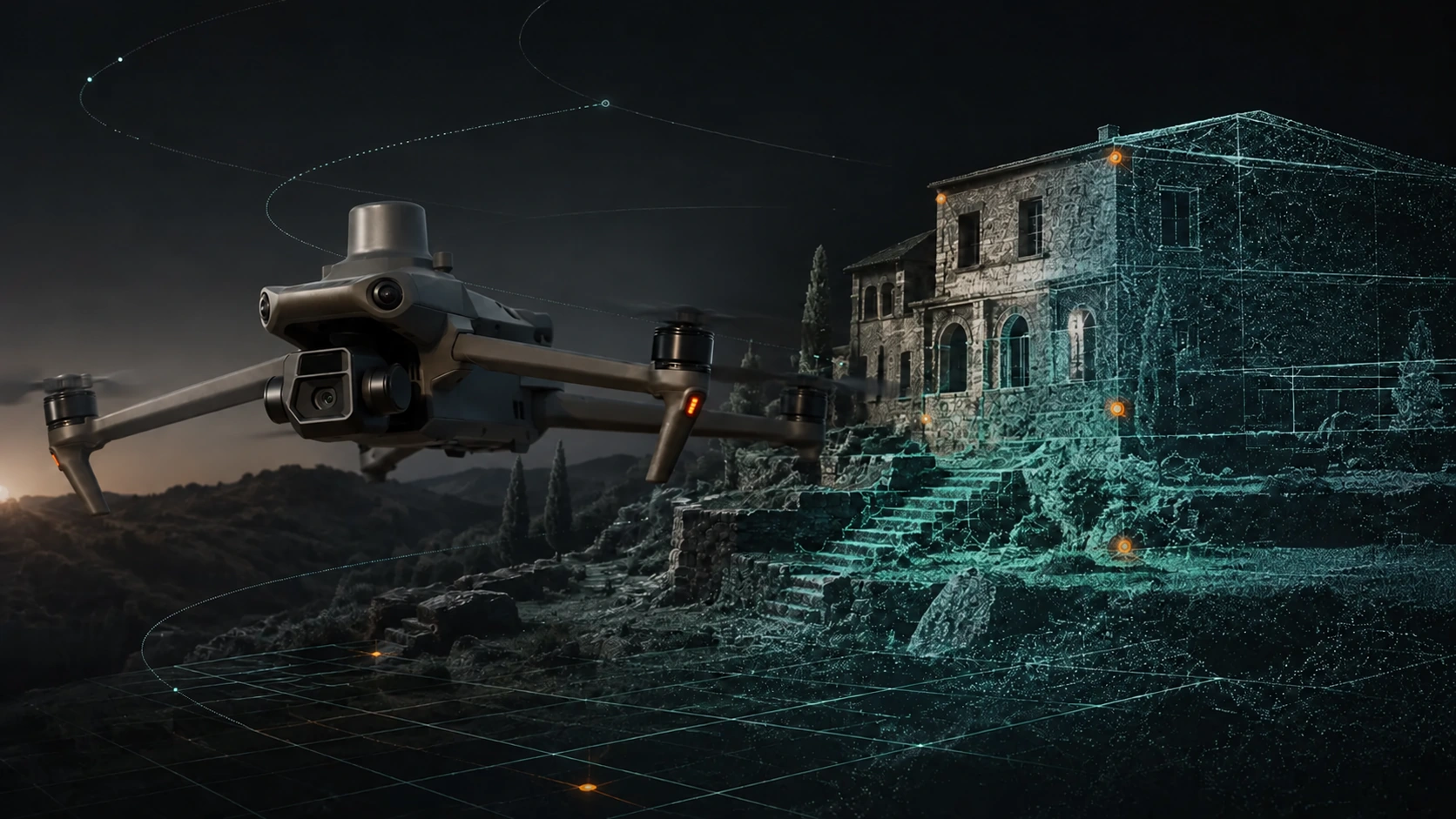
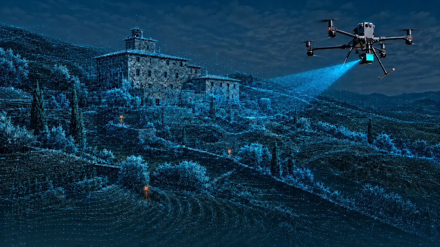
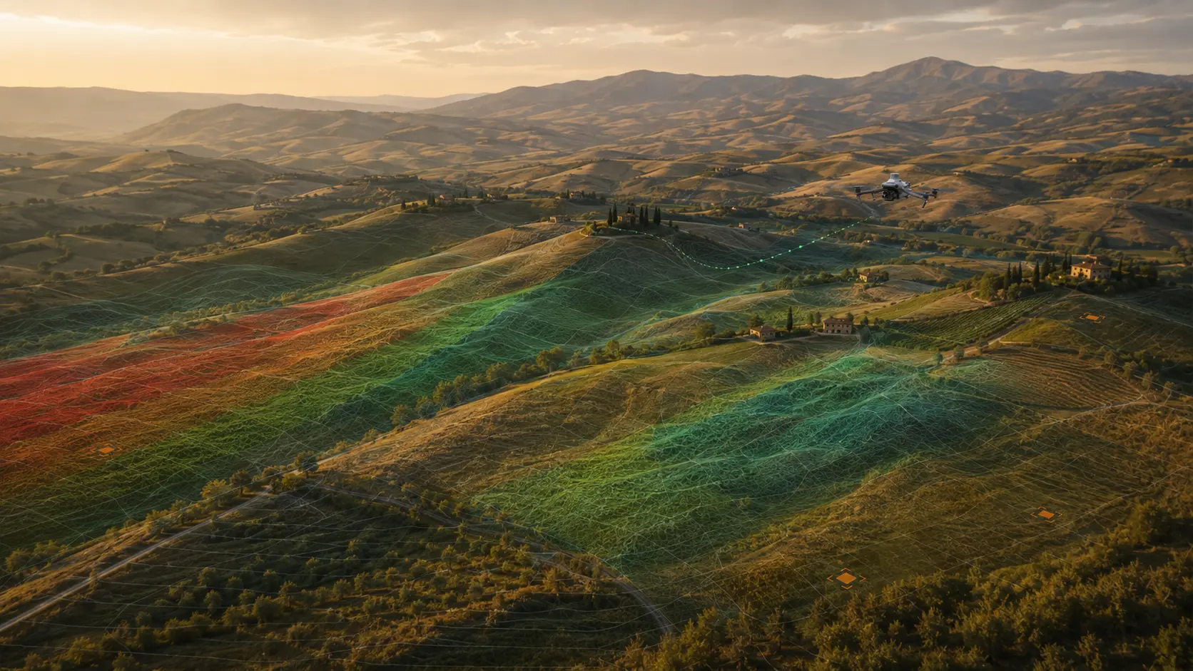
Drone surveying documents slopes, embankments, vegetated areas and hard-to-reach surfaces while reducing direct operations in the most critical locations.
Through photogrammetry, LiDAR and ground control points, we reconstruct site morphology and produce digital models, contours, profiles, sections and volume calculations. When required, point-cloud classification separates vegetation from terrain to provide a more reliable representation of the actual surface.
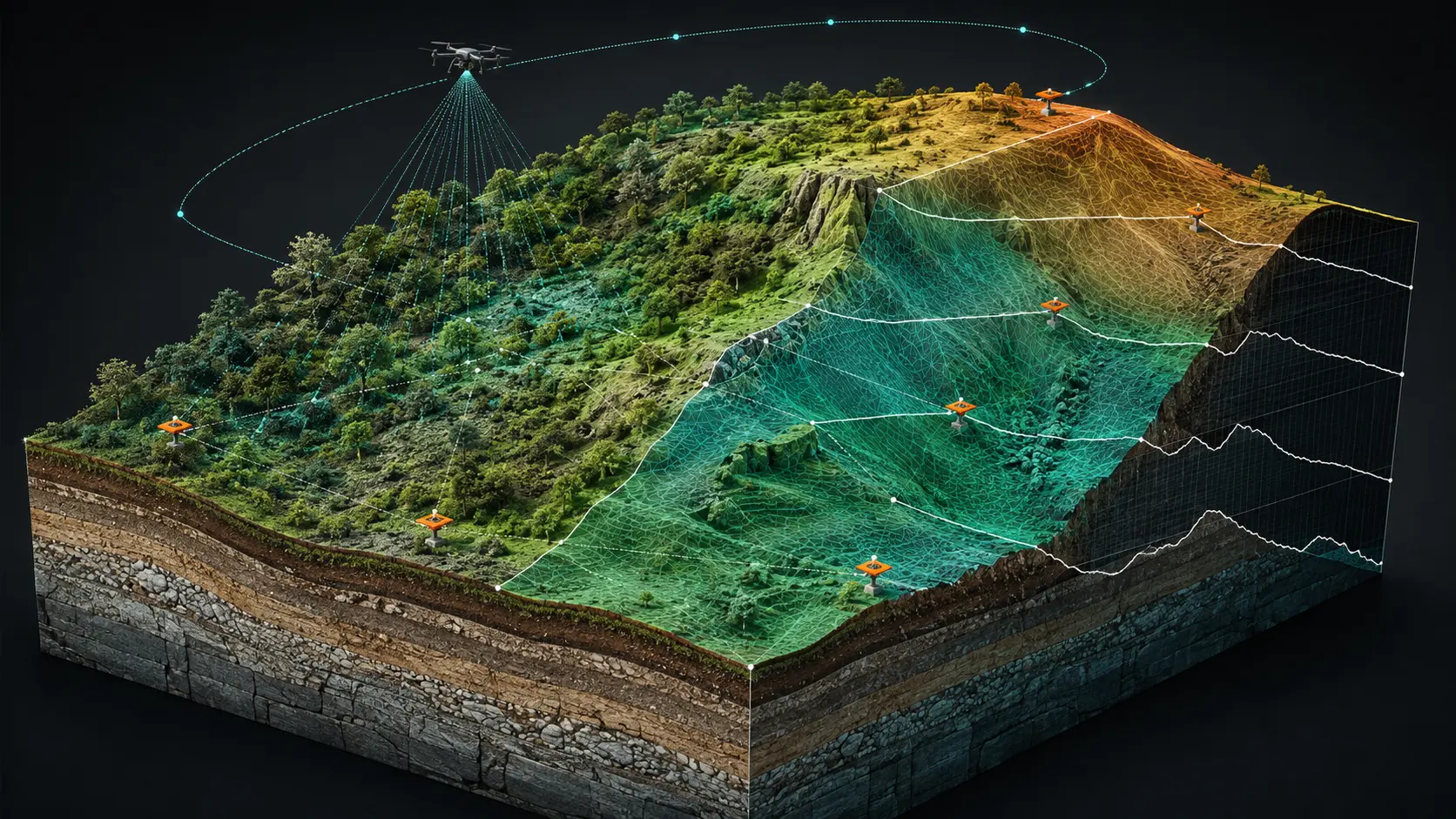
Each survey is planned according to the size and morphology of the site, the required resolution and the intended use of the deliverables. Drone data is integrated and verified using GNSS, GCPs, independent checkpoints and, where required, a total station or laser scanner. The resulting checks make the scale, accuracy and reliability of the outputs clearly reportable.
From data to design
The existing-condition model becomes the basis for architectural design. Restoration, refurbishment, new construction, outdoor spaces and landscape integration are coordinated within a single process.
BIM models, construction drawings, architectural visualisations and virtual walkthroughs allow geometry, materials and design solutions to be checked before construction.
Explore design ↘Surveying comes before design
We survey buildings, historic structures, roofs, façades, sites and land using planned flights, RTK systems and ground control points.
Point clouds, orthophotos, digital models and sections document the current condition and provide a reliable basis for designers, owners and external practices.
Coordinated expertise
Metric acquisition and documentation of existing conditions, from individual properties to the wider landscape.
Transformation, recovery and enhancement of the built heritage through a coordinated process.
Documentary and technical property management providing a clear, verified picture.
Specialist assessments addressing building safety, performance and quality.
Economic and valuation tools supporting owners, companies and professionals.
Experience, territory, responsibility
Studio Tecnico Sebastiani is built on more than fifty years of professional activity in the area. Its continuity is grounded in surveying, planning and design, supporting buildings, sites and properties from an understanding of their current condition through authorisation and construction.
Experience gained on Tuscan heritage is now combined with digital surveying, three-dimensional modelling, sustainability and new construction techniques, with nationwide availability. Our consultancy begins with listening and leads to clear, documented and achievable decisions.
Every assignment is managed with professional responsibility and unified technical oversight. Surveys, procedures, design and consultancy are coordinated by the practice, involving the specialist expertise required for each project.
Different disciplines are integrated into one operational process, reducing handovers, uncertainty and fragmented responsibility.
We support private clients, companies, professionals and public bodies with technical analysis, preliminary checks and strategies tailored to each assignment.
From reality to the model
Interiors, façades, structures and deformations are combined in a registered and verified point cloud, ready for sections, analysis and BIM modelling.
Planned flights over buildings, historic structures, sites and land produce orthophotos, point clouds, 3D models and metric surfaces verified through RTK, GCPs and independent checkpoints.
Control networks, plan-altimetric surveys, setting-out and sections reveal morphology, level changes and design transformations.
Operational outputs
High-density three-dimensional metric base
Geometric reading of roofs, façades and terrain
Longitudinal and transverse sections, elevation profiles and slope analysis
Plans, architectural and territorial sections, elevations and construction details
Coordinated compliance checks, procedures, valuations and assessments
Completed work / documented process
Three real assignments show how field acquisition becomes usable information. Photographs, control points, point clouds, meshes and elevation surfaces are checked and organised to produce models, orthophotos and technical drawings ready for analysis and design.
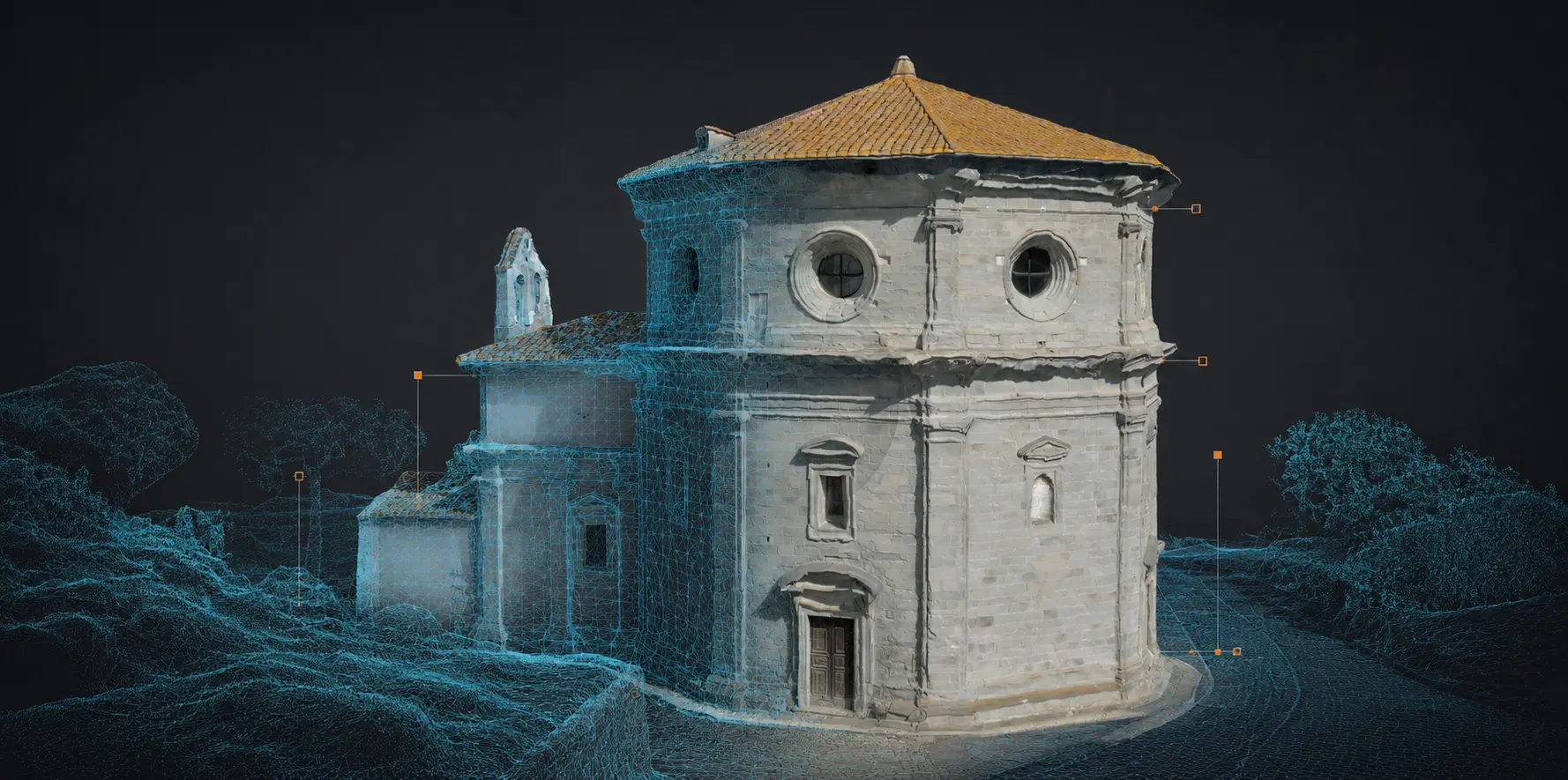
Geometry, masonry and context captured in a queryable three-dimensional model.
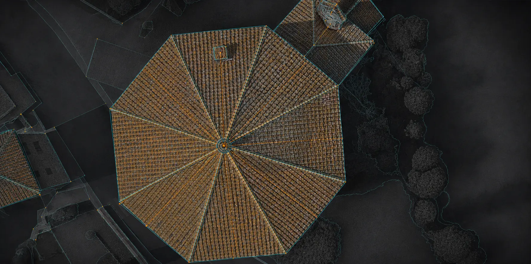
Roof slopes, ridges, valleys and details documented with metric continuity.
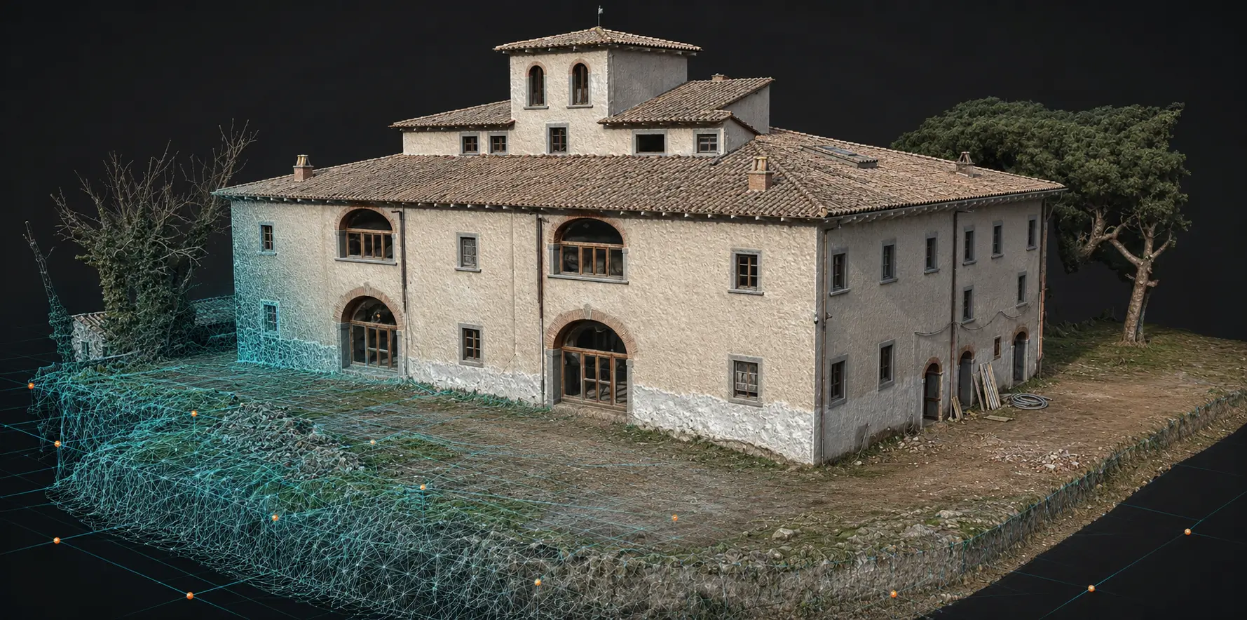
Buildings and terrain coordinated within a single reference system for analysis and design.
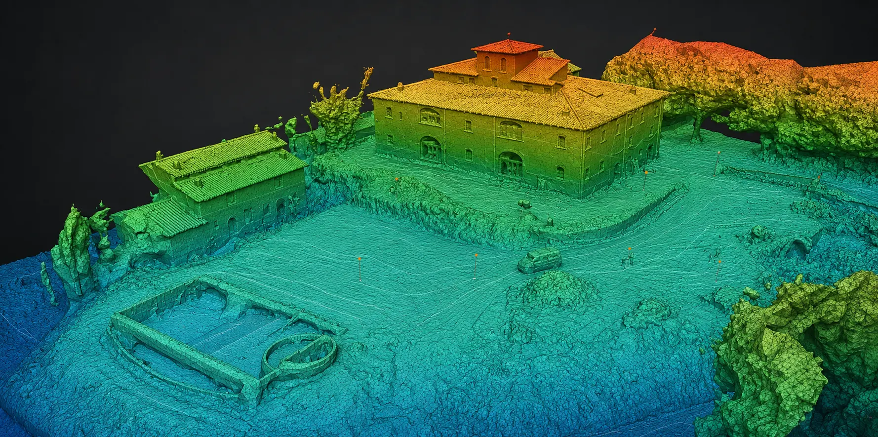
Colour-coded elevations make differences in level and volumes immediately recognisable.
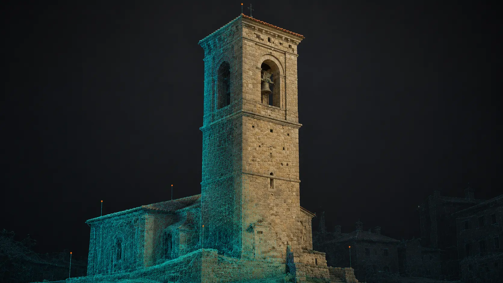
Masonry, openings and bell chamber reconstructed in a verifiable three-dimensional model.
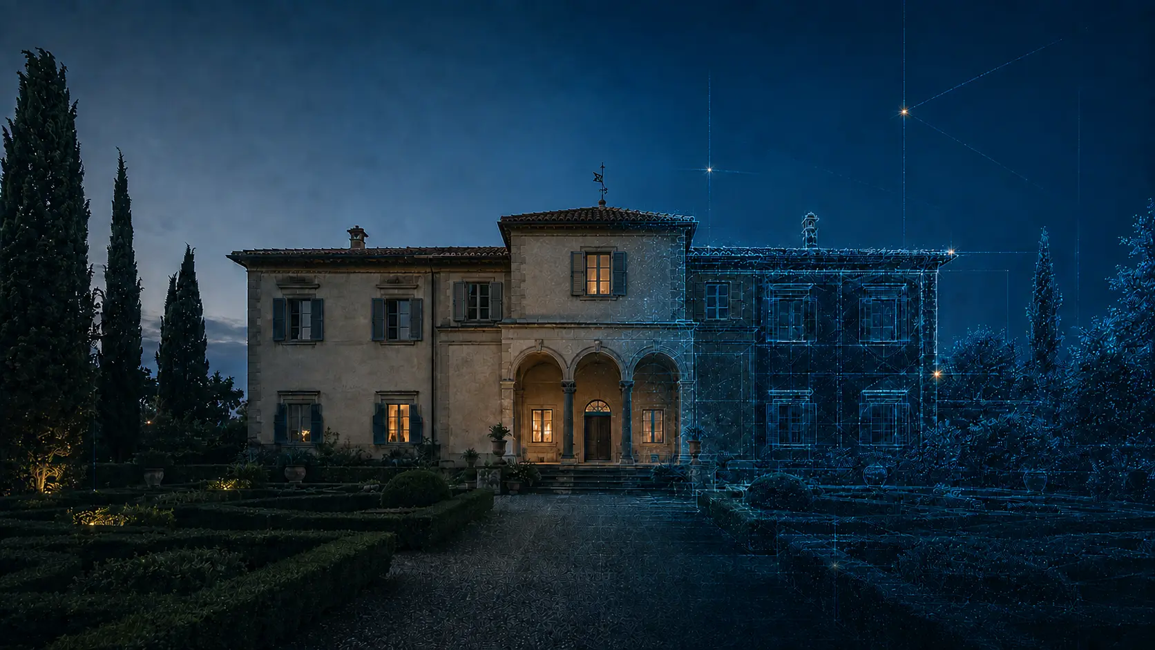
Volumes, loggia, towers and external works read as one geometric whole.
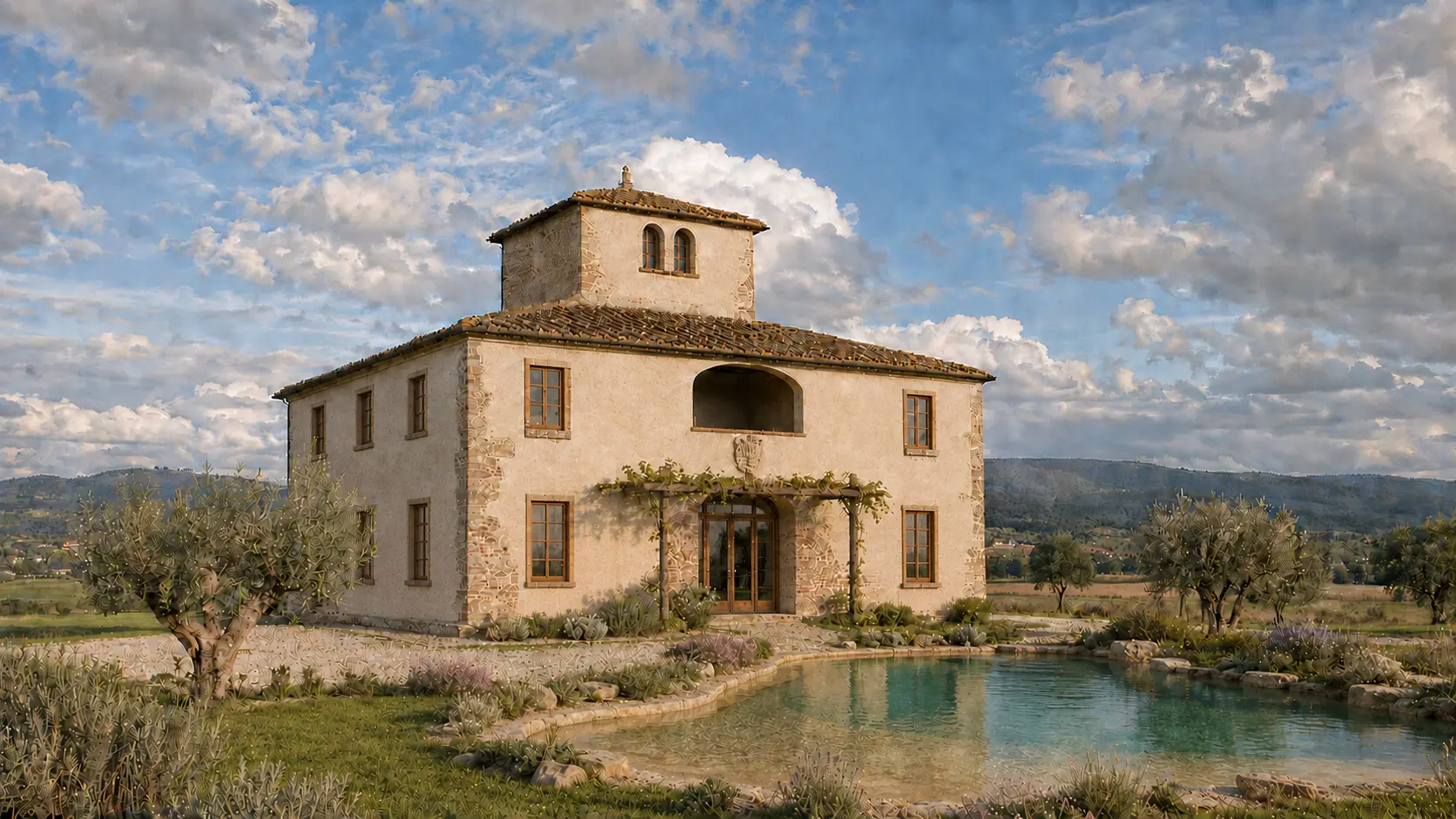
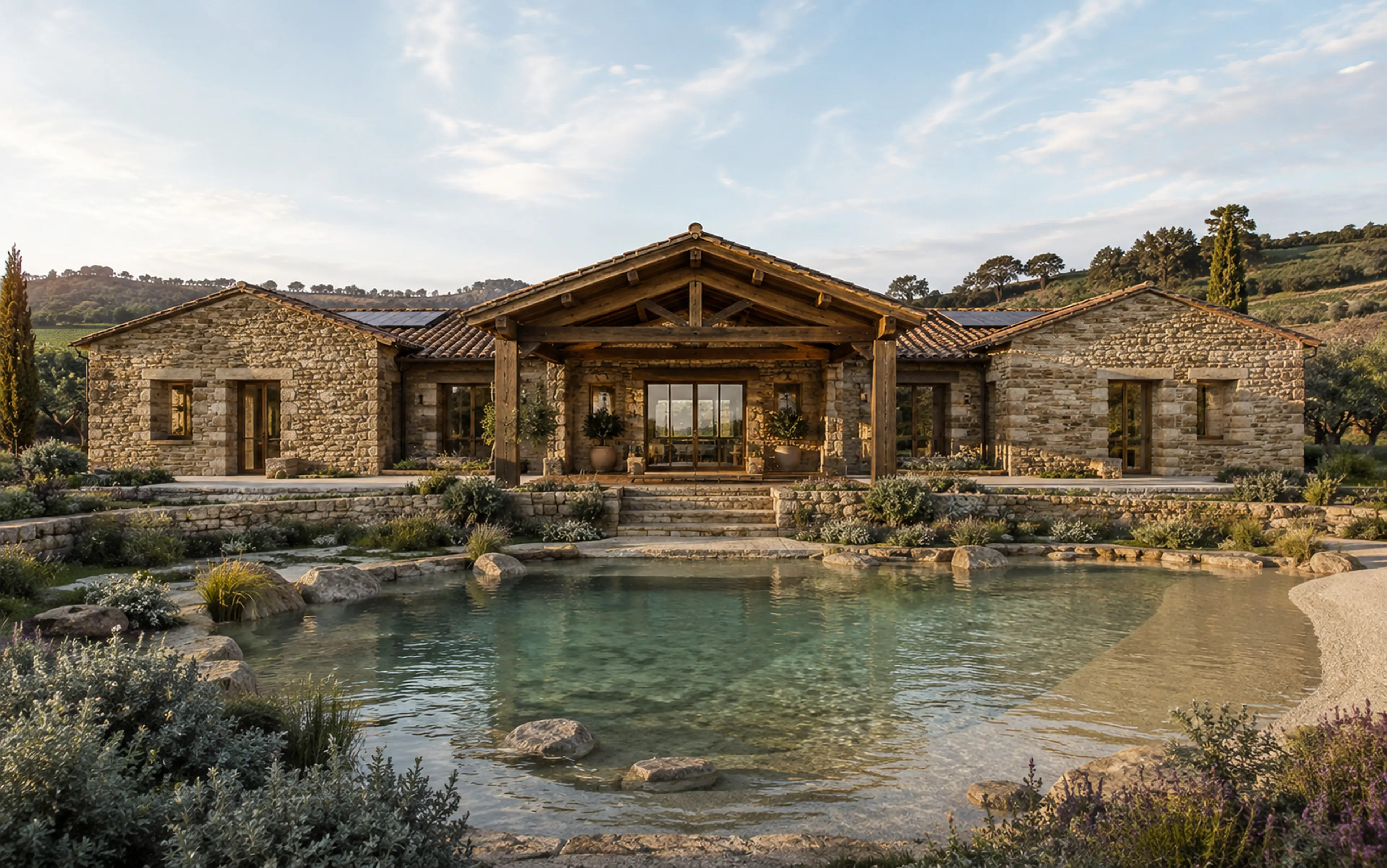
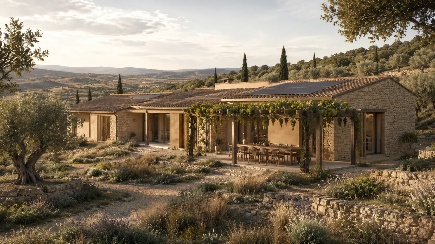
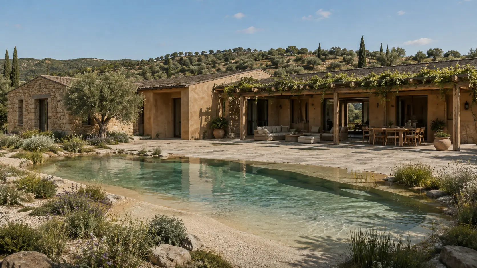
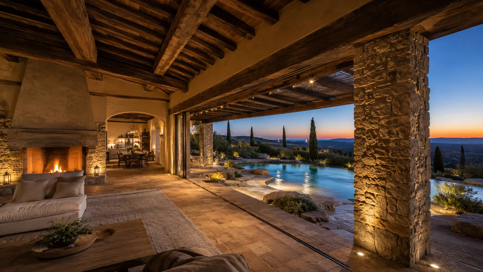
Architectural visualisation for a sensitive restoration of the tower, dovecote, loggia and local materials, completed by a natural, landscape-integrated swimming pool in the Valdichiana landscape.
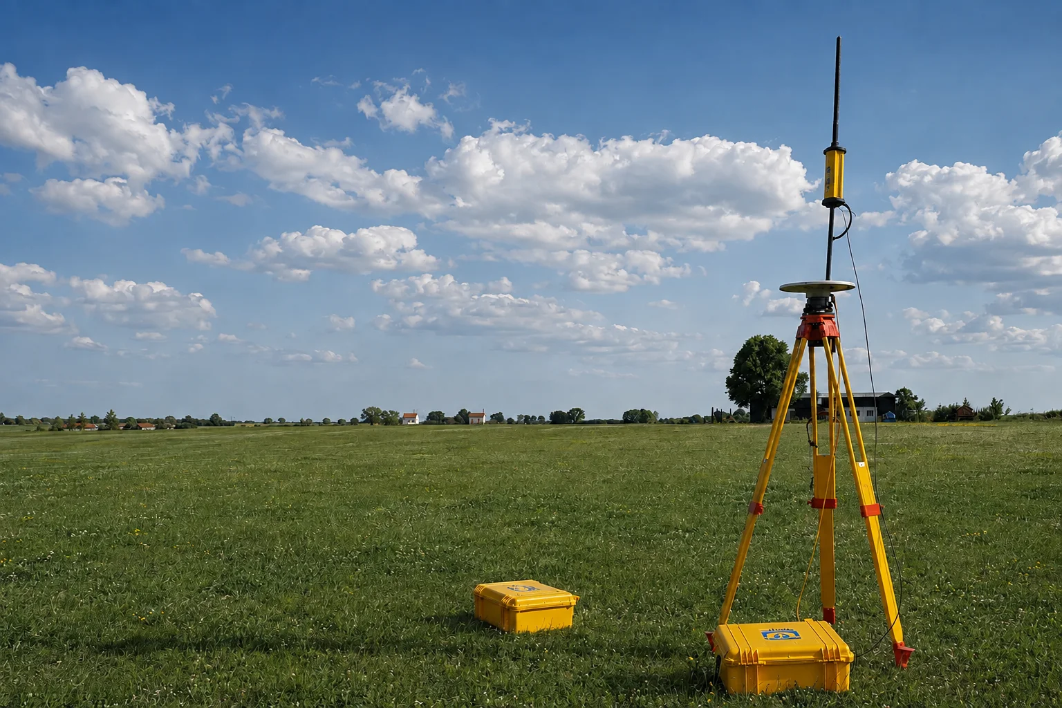
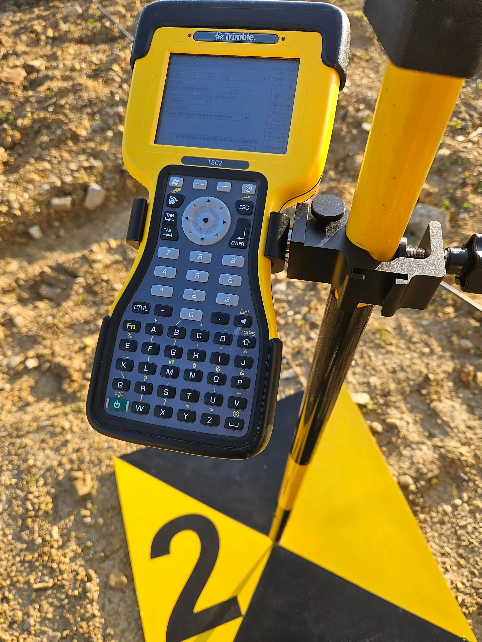
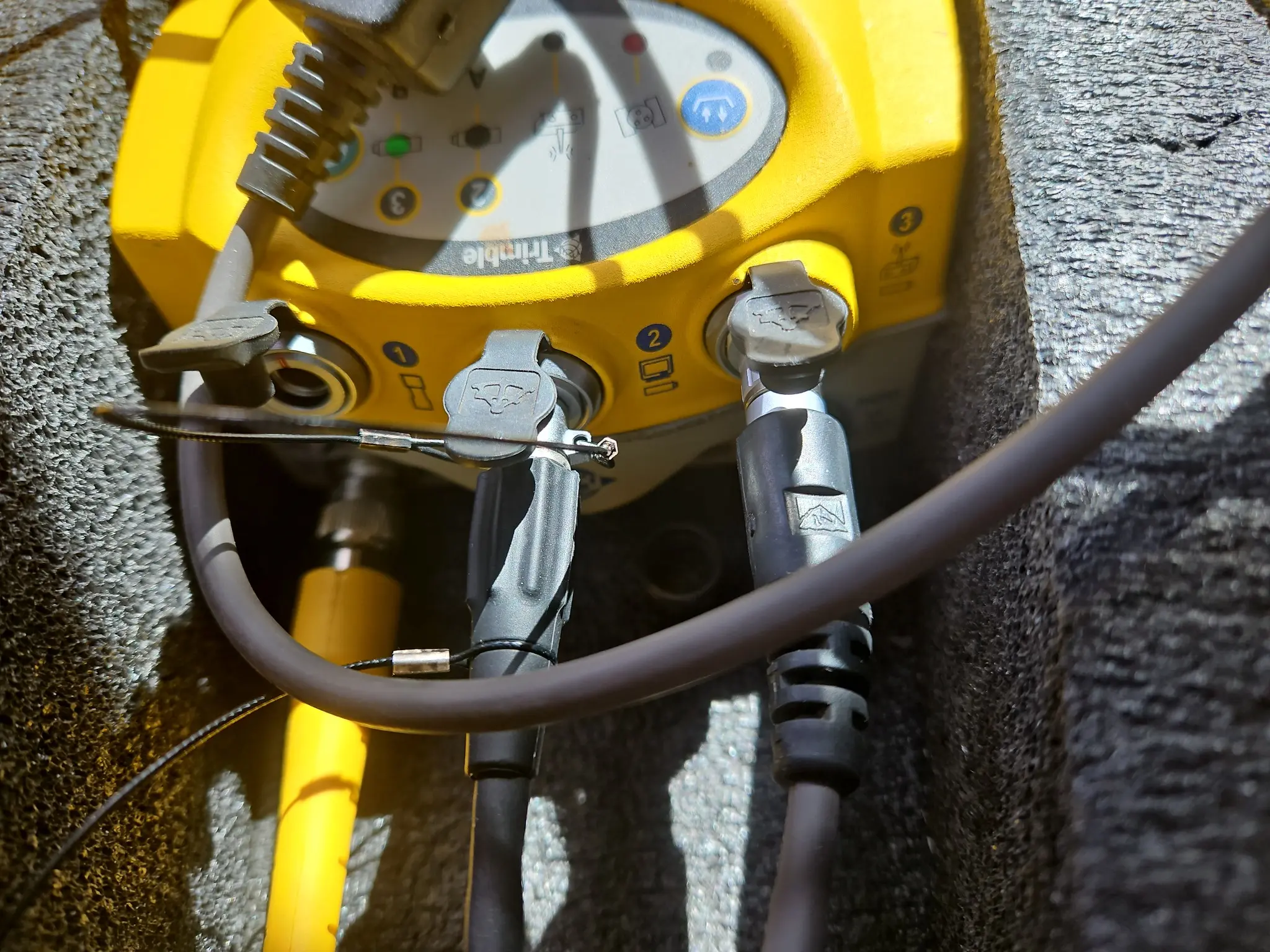
Field equipment
GPS/GNSS receivers, controllers and acquisition systems support every survey campaign. Technology is selected according to the subject, scale and required accuracy.
Instruments, method, continuity
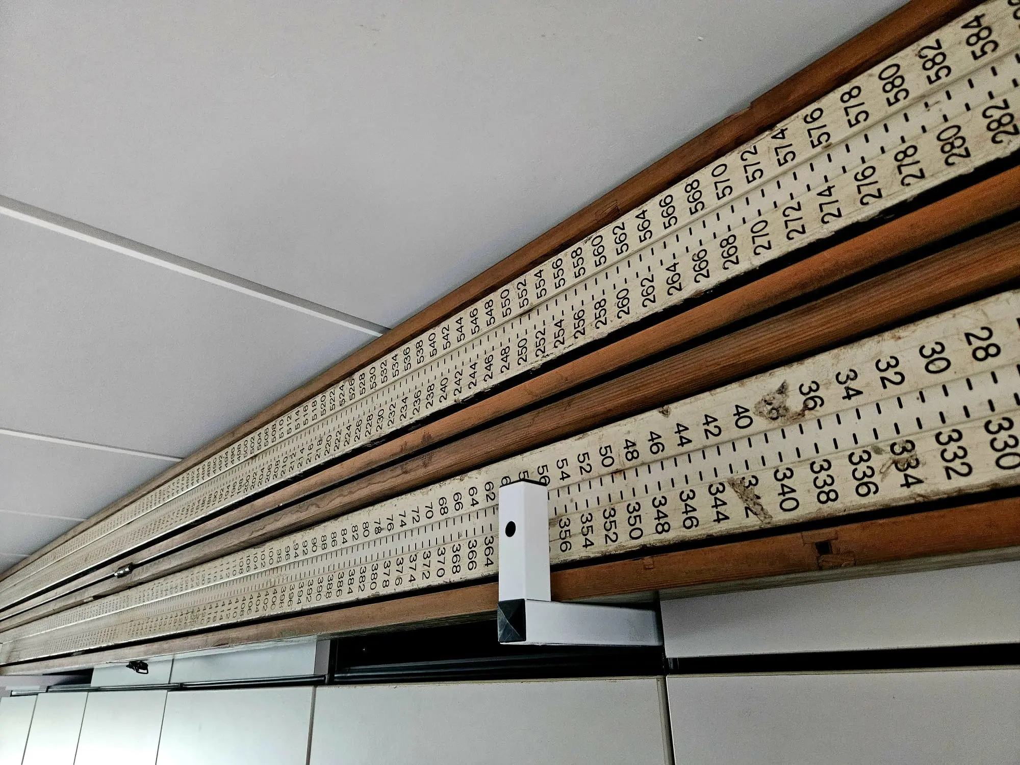
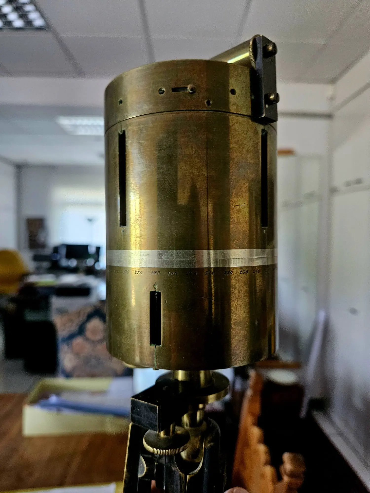
Accuracy depends not only on technology, but also on knowledge of the instrument and control of the data. Equipment preserved in the studio tells the story of topographic surveying and the continuity of a method developed in the field.
Explore the archive ↗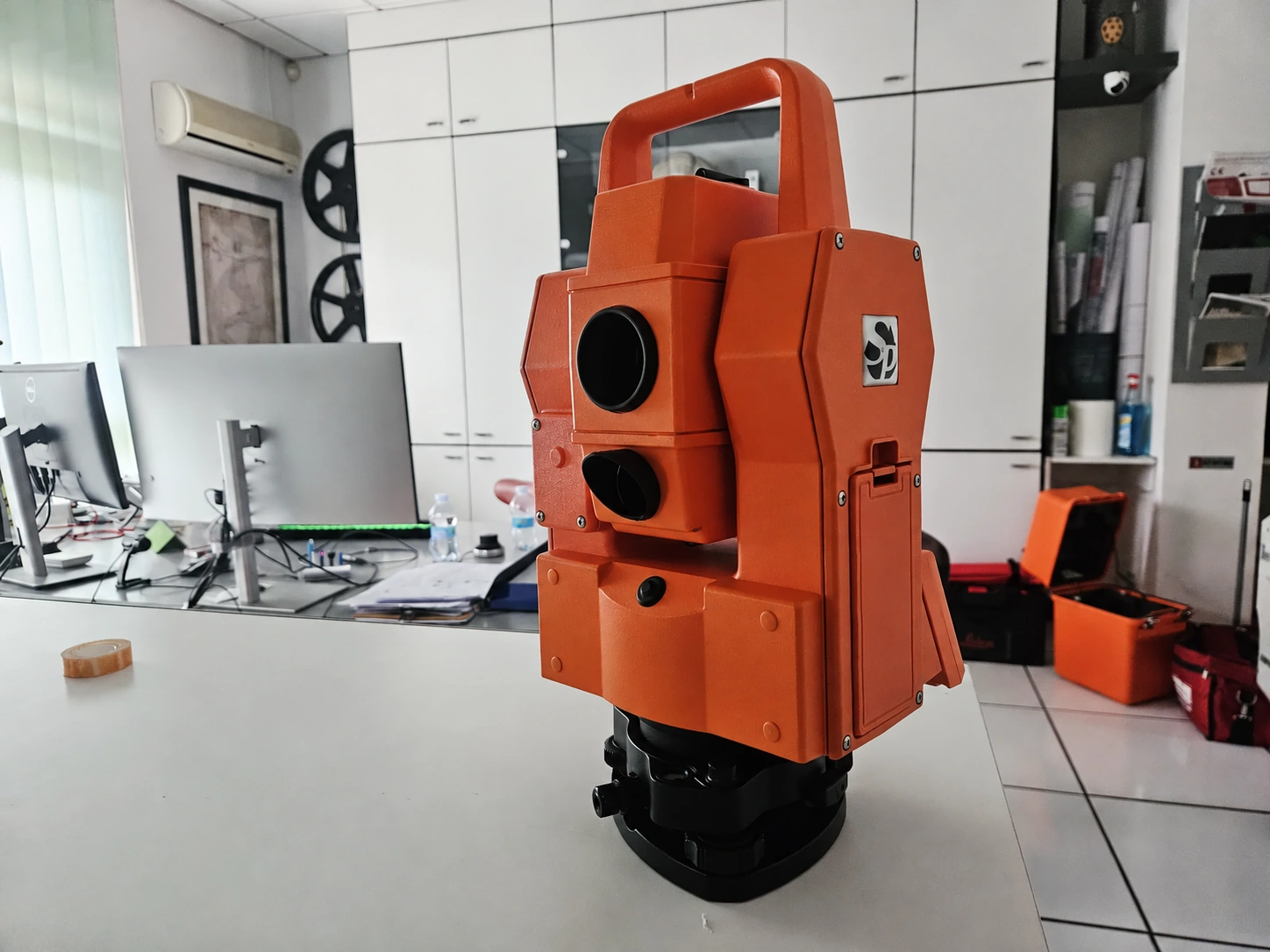
Orientation, collimation and coordinated acquisition of angles, distances and elevations.
02Redundant controls, closures and checks make the data traceable before delivery.
03From the total station to GNSS, laser scanner and drone: every measurement flows into the same digital model.
STATO ATTUALE method
We collaborate with architecture, engineering and regeneration practices, providing an independent, verified knowledge base ready for subsequent design assessments.
Required objectives, scale, accuracy and deliverables.
Buildings, historic structures, land and sites are surveyed using laser scanners, drones, GNSS and topography.
Registration, verification and construction of the digital existing-condition model.
Point clouds, 3D models, orthophotos and 2D drawings are organised in the agreed formats for the client’s use.
The client may appoint the studio for subsequent phases or freely use the documentation with their own designers. On request, we support external practices in reading the data and developing regeneration proposals.
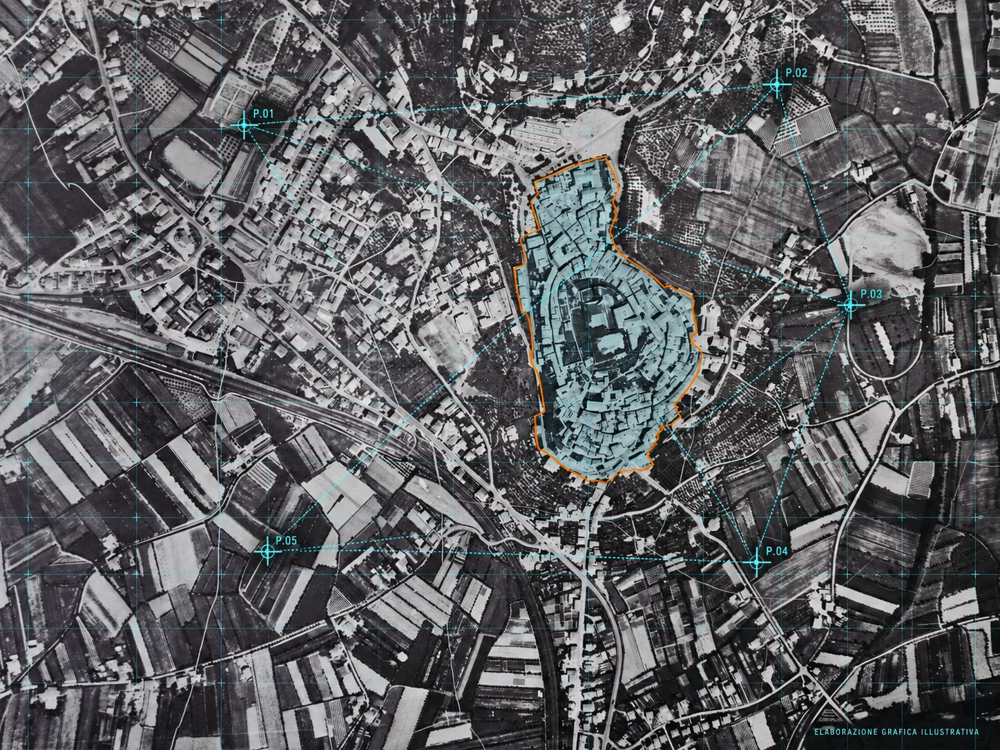 ARCHIVE / AERIAL FRAME
A heritage of measurement
The history of surveying is one of observation, optics and geometry. Aerial photographs and mechanical instruments preserve the methods from which contemporary technologies evolved.
STATO ATTUALE connects this culture of measurement with GNSS, laser scanning, drones and three-dimensional models.
Conserve · Regenerate · Build
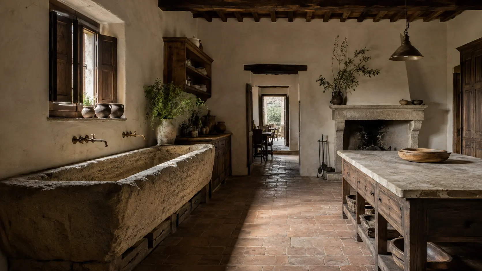
Existing conditions embody memory, material and potential. Design coordinates structure, envelope, finishes, conservation and landscape: every decision begins with understanding the place and contributes to a new relationship between building, use, comfort and energy.
Preserve what has value.
Transform what no longer works.
Give places a future.
Survey, assessment and design for wholly or partly deteriorated properties, with close attention to original character, textures, proportions and historic layers.
Structural consolidation, masonry repair, compatible reinstatement and enhancement of the construction identity of historic and rural buildings.
Design with cross-laminated solid timber panels for efficient, precise and low-impact construction.
Timber-frame systems for new buildings, extensions and additional storeys, coordinated with the envelope, building services and energy performance.
Gardens, paths, walls, drainage, lighting and low-impact Natural and landscape-integrated swimming pools are designed together with the building, selecting plants suited to the climate, soil and identity of the Tuscan landscape.
From preliminary structural studies to construction details, we coordinate technology, layout, services, finishes and conservation condition to create a coherent, buildable whole.
Wood fibre, mineral fibres, hemp-and-lime components, bio-based blocks and recycled materials are selected according to the substrate, breathability, durability, comfort and compatibility with the existing fabric.
Wood-fibre or mineral-fibre insulation, slim aerogel solutions, timber roofs and high-performance junctions are assessed case by case to limit thermal bridges and resource consumption.
Ventilated or modular recycled-material subfloors, membranes, radon barriers, drainage and below-ground junctions defined according to site conditions.
The project before construction
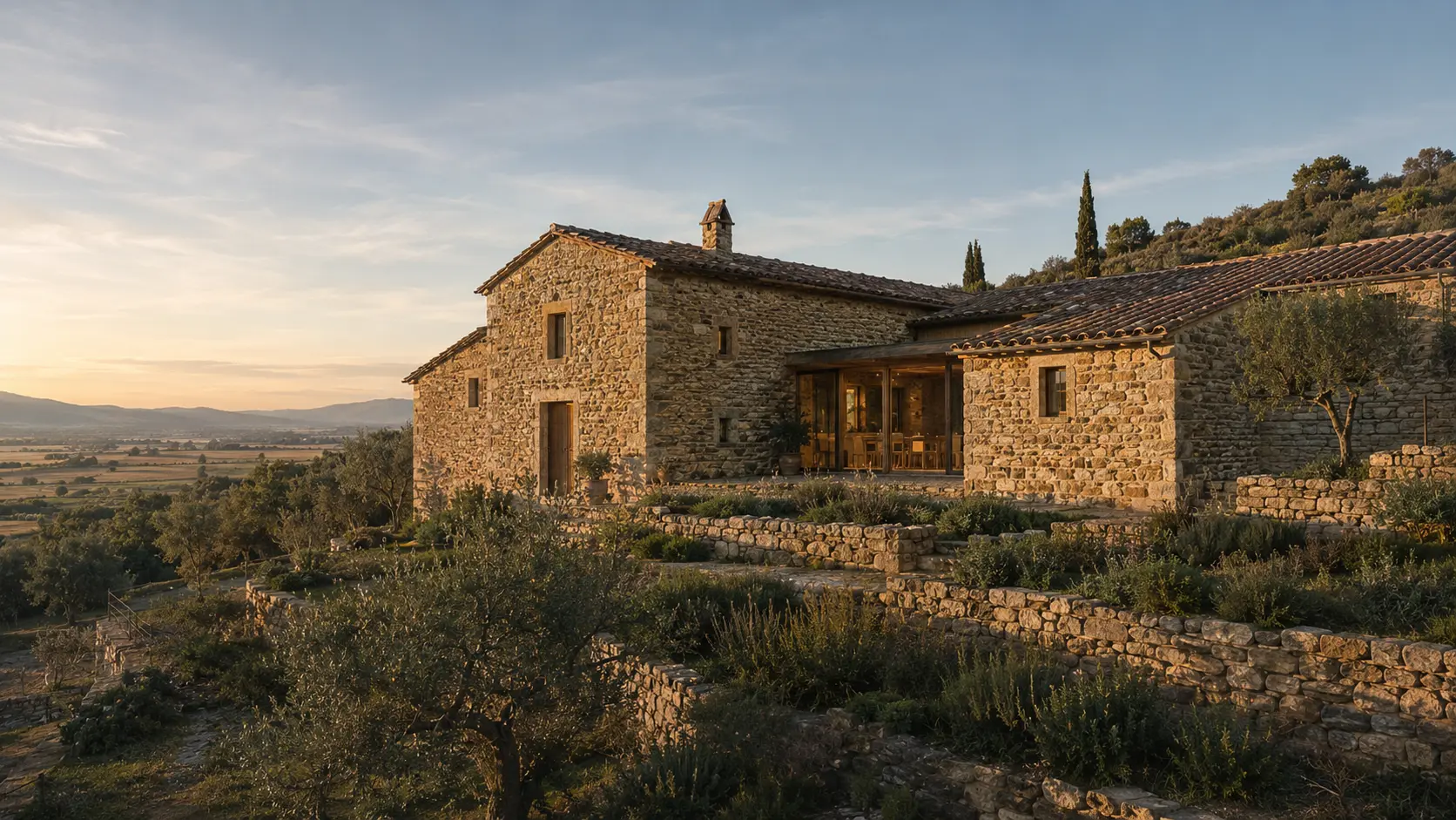
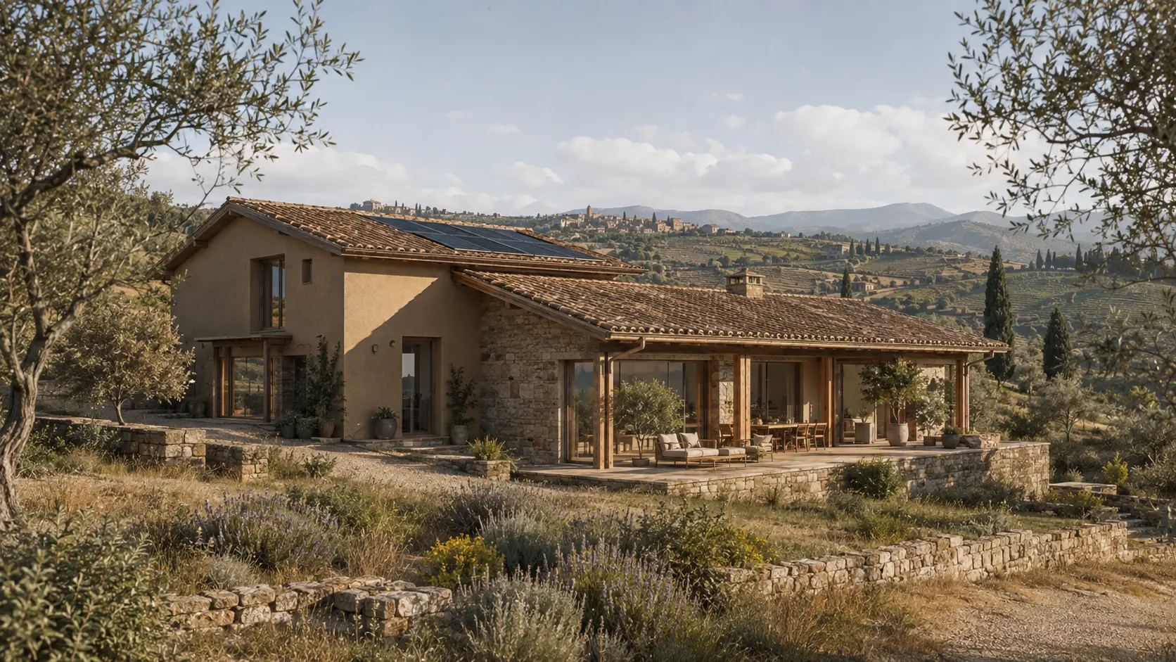
From survey data and point clouds we develop BIM models in which building geometry and information are organised within a coordinated system. Architecture, structure, envelope and services can then be assessed together, checking clashes, quantities and construction choices before work begins.
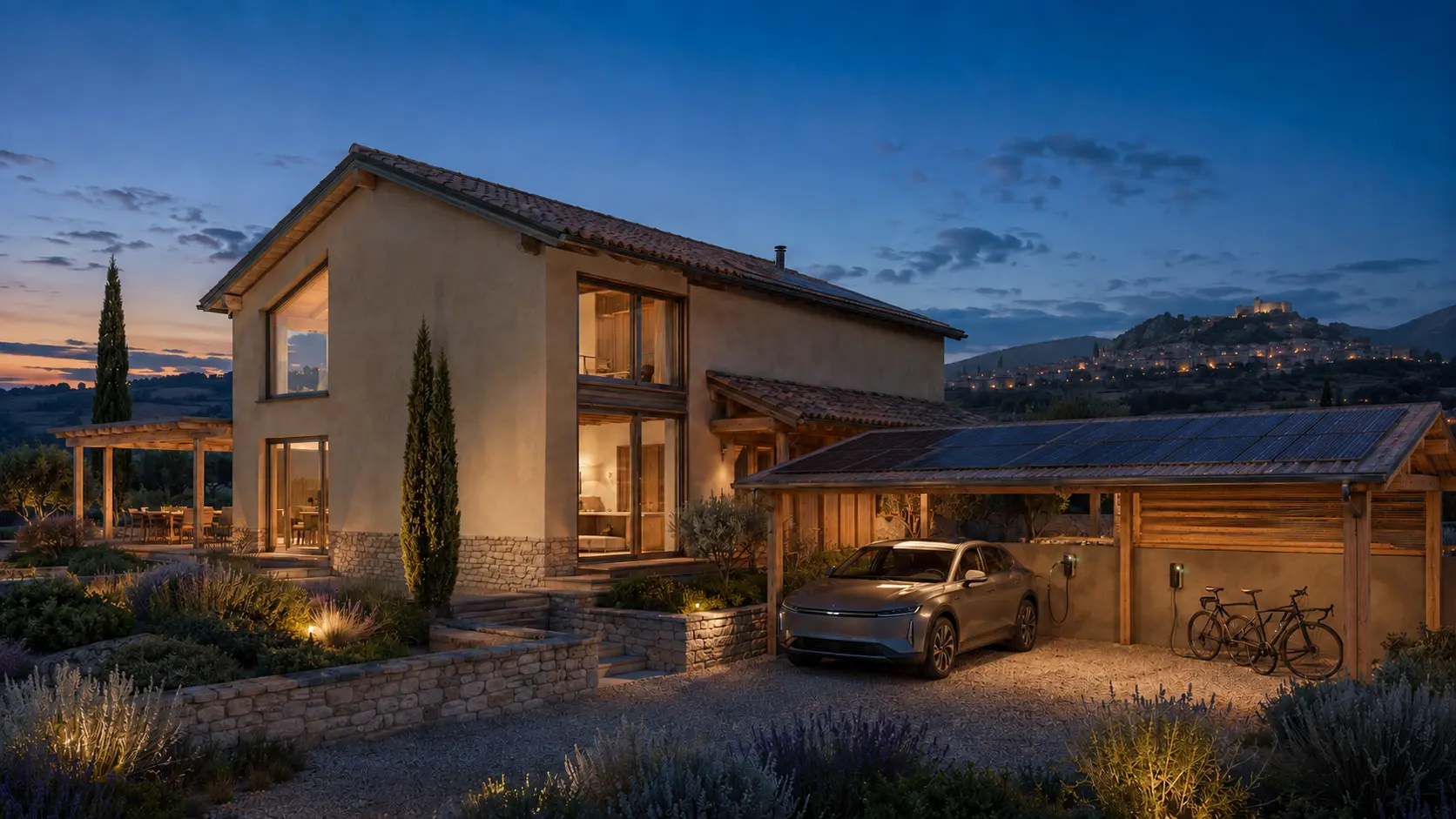
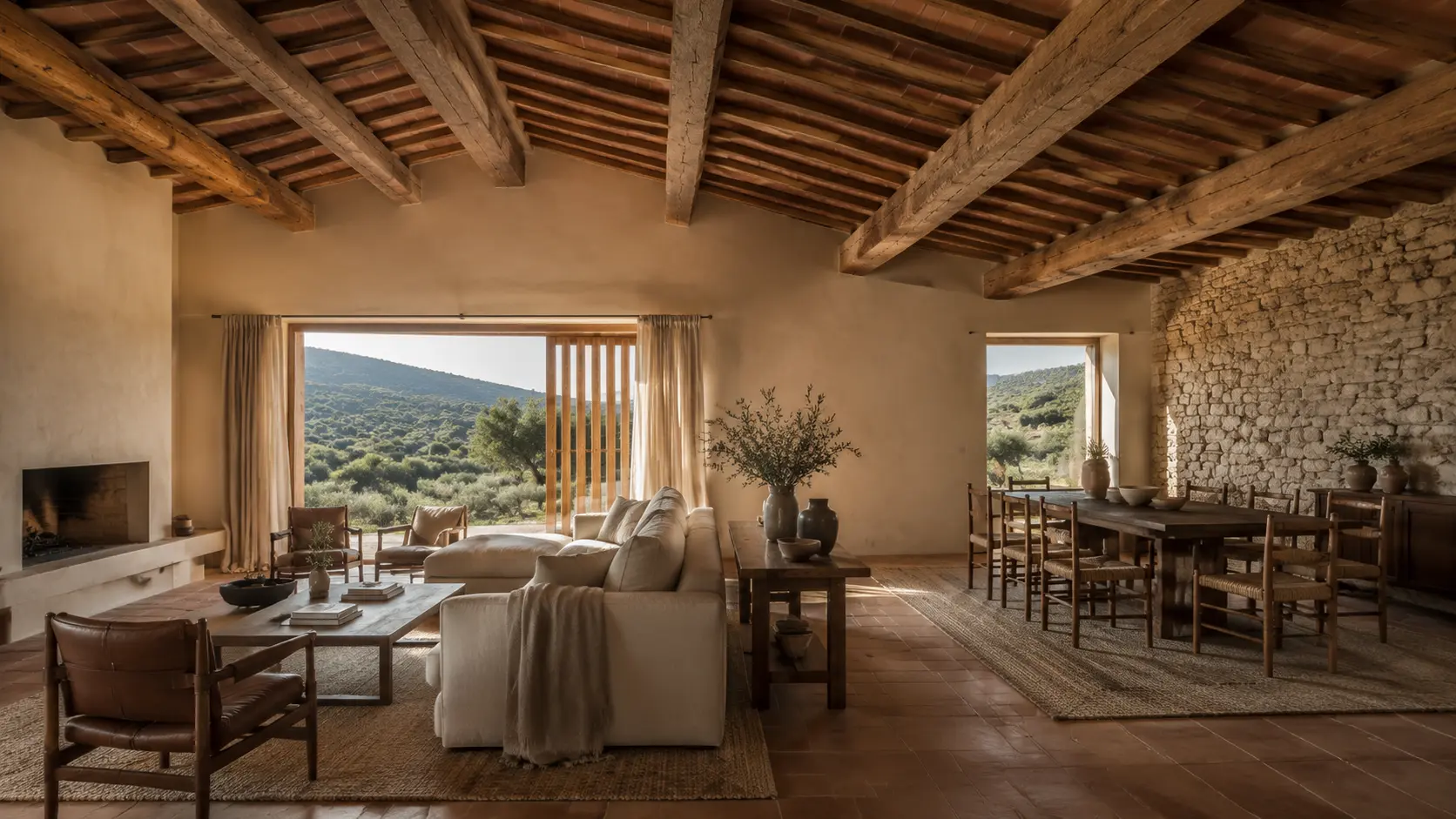
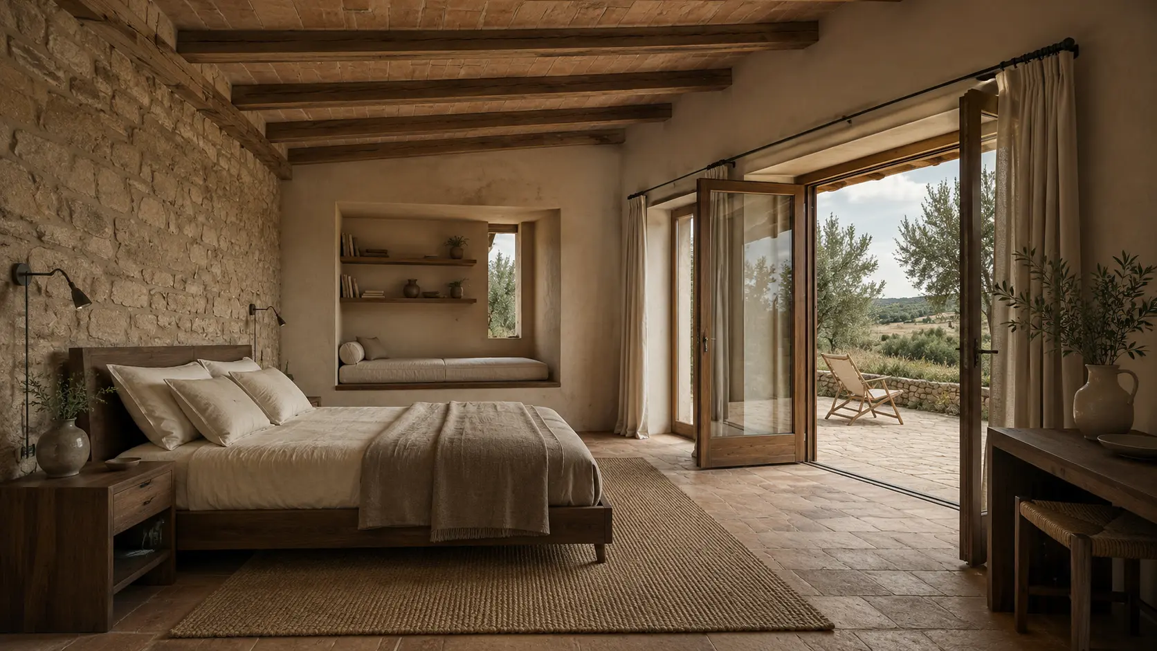
The information model also provides the basis for high-resolution architectural visualisations and virtual walkthroughs. Materials, finishes, furnishings, planting and lighting create a realistic simulation of interiors and outdoor spaces, helping compare options and understand the outcome before construction.
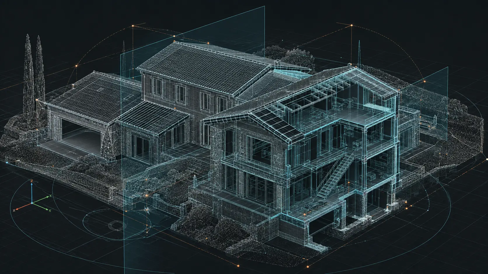
Coordinated information objects, geometry and disciplines.
Realistic textures, light, materials and finishes.
Immersive routes through and around the design.
Clashes, quantities and decisions verified before construction.
Understand before signing
We support owners, buyers, professionals and agencies with the technical assessment of a property before and during negotiations.
The aim is to reconstruct a reliable documentary picture, identify any issues and define the necessary technical procedures.
Collection and analysis of planning approvals and available documentation.
Comparison between authorised condition, surveyed condition and subsequent alterations.
Verification of plans, identifying data and correspondence with the actual property.
Summary of findings and technical support for preparation of the deed.
Property valuations, areas, state of repair and relevant conditions.
Identification of viable procedures when discrepancies emerge.
Innovative, responsible design
Every decision is assessed as part of one system: structural safety, energy efficiency, material quality and the relationship with the landscape must produce a coherent, durable and genuinely buildable project.
Structure, envelope, building services, orientation and renewable energy are designed together. The result is a building with lower heat loss, controlled energy use, stable comfort and reduced running costs.
Wood fibre, mineral fibres, aerogel, hemp, lime, local stone and recycled components are selected according to the substrate and required performance, considering compatibility, healthy interiors and long-term maintenance.
Steel, timber, stone masonry and reinforced concrete are combined where each material contributes most effectively. Ductility, stiffness and lightness are coordinated for seismic response, durability and reduced environmental impact.
Gardens, native planting, paths, lighting, drainage and Natural and landscape-integrated swimming pools are developed within the same design. Outdoor spaces become a functional part of the project while preserving the identity of the rural landscape.
High-performance envelopes, efficient building services, photovoltaics, storage and electric mobility are coordinated to reduce energy use and running costs.
Natural, mineral and recycled materials are integrated with control of light, air, humidity and acoustics to create healthy, durable interiors.
Radon protection, drainage, permeable surfaces, local stone and native planting connect the building, outdoor spaces and responsible water management.
Natural and landscape-integrated swimming pools
Design of landscape-integrated swimming pools, with shapes, materials and finishes in harmony with the building and outdoor spaces.
Organic profiles, local-stone edges, naturally toned finishes and native planting reduce visual contrast and preserve the character of the rural landscape.
The gently sloping floor facilitates entry and exit and makes depth easier to understand. Sloping edges and shallow areas can also offer small animals an easier way out than vertical walls.
Local aggregates and permeable binders integrate paths, sun terraces and pool surrounds, encouraging water infiltration and reducing runoff and sealed surfaces.
SAFETY / DESIGN NOTEA beach-style entry improves usability and depth awareness, but safety measures are always defined according to the setting and intended use.
A path for every need
Select your objective: each route brings together the surveys, checks, design work and specialist advice genuinely required for your case.
RTK drone, LiDAR, laser scanner, GNSS, photogrammetry, DEM/DTM models, sections and metric documentation.
VIEW THE PATH ↗02Existing-condition survey, feasibility study, architectural design, approvals, construction drawings and site supervision.
VIEW THE PATH ↗03Planning and cadastral verification, document access, valuation and technical support during negotiations.
VIEW THE PATH ↗04Assessment, envelope, building services, photovoltaics, sustainable construction and strategies for high-efficiency buildings.
VIEW THE PATH ↗A clear assignment from the outset
Before starting, we define objectives, scale, checks and delivery formats. The client understands the workflow and receives data organised for its intended practical use.
We assess available material, operating conditions and the final use of deliverables. The proposal defines activities, outputs and level of detail.
Acquisition, processing and checks are coordinated within the same process. Technical decisions are explained and any issues are shared promptly.
We deliver documents that owners, contractors and professionals can readily use, together with the information required to interpret them and continue the work.
Do you already have documents, photographs or a previous survey?Send them with a short description and we can identify the most suitable technical path.
Data that becomes decisions
Not simply images, but coordinated and verifiable deliverables: from raw data to construction drawings and the documentation supporting approvals, construction and property management.
PDF · DWG · DXF · IFC · OBJ · E57 · LAS/LAZ · GeoTIFF
Delivery formats are agreed for each assignment and the recipient’s software.Concise answers to the questions most often asked before commissioning a survey, technical assessment or design project.
When geometry, deformations, interiors or façades require dense, verifiable three-dimensional documentation, also suitable for BIM and restoration.
They connect the photogrammetric model to ground-measured references, allowing its accuracy, scale and orientation to be checked.
Planning approvals, authorised condition, actual condition, cadastral plan, discrepancies, constraints and possible compliance routes.
Plans, elevations, sections, construction details, materials, specialist coordination, bills of quantities and the information required for construction.
Yes. 3D models, realistic materials, architectural visualisations and virtual walkthroughs allow spaces, light and design options to be assessed before construction.
Yes. STATO ATTUALE can acquire and organise the existing condition, then deliver point clouds, 3D models, orthophotos, plans, elevations and sections for clients and external practices to use in their own design process.
Valdichiana · Tuscany · Umbria · Italy
From its Castiglion Fiorentino office, the practice works regularly across the provinces of Arezzo, Siena and Florence, in Cortona and the Valdichiana, and more broadly throughout Tuscany and Umbria. For surveys, consultancy and specialist assignments, the practice is available nationwide, coordinating equipment, travel and delivery methods to suit each project.
Survey or design?
Indicate the service, location and objective of the assignment. If available, prepare the property location, photographs, plans or documents already in your possession: we will contact you to define the site visit, required checks and quotation.
Visit us
The practice works across the provinces of Arezzo, Siena and Florence, throughout Tuscany and Umbria, and is available for assignments nationwide, collaborating with property owners, contractors, professionals and public bodies.
The geoid is the physical reference for elevations: a surface linked to the Earth’s gravity field, interpreted over time through observations, levelling and optical instruments. Photography preserves the material memory of this history of measurement.
The electronic total station combines collimation, angular measurement and distance measurement: a decisive step between the optical-mechanical tradition and contemporary digital acquisition.
The levelling staff preserves the physical nature of measurement: a scale read directly in the field, tied to the geometry of the level and the careful establishment of elevations.